[](http://davemeehan.com/wp-content/uploads/2011/11/photo.png “”)
Well, all safely back to base. 2 hours up, plus stopping time for lunch and admiring of views, then only 15 minutes to get back down the same way.
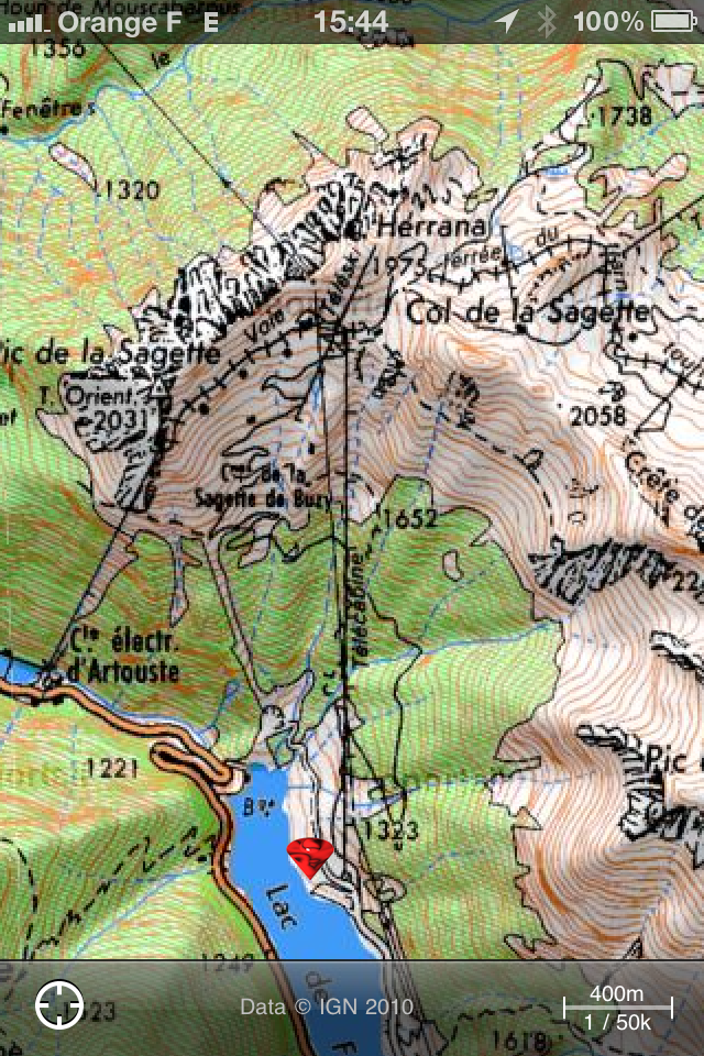
I decided against the loop down the back side to do a circuit of the Pic de la Sagette, as from what I could see of the footpath it looked like a tiny little goat track and not suitable for the bike. If I’d set off earlier, I wouldn’t have minded the walk, but was please with the result.
Now off to wash the mud from the bike and myself!
Looking at the map, the red diamond is the location of the van, and the wiggly black line is the track it took. Once I got to the Col, I walked up onto the peak marked 2058 on the top right of the map. So about 900m in all. Round trip was 10 miles. So I make that a 1:20 average, so not very steep after all. Very little walking required.


